Fat biking on Jubilee Mountain in Tagish, Yukon
Across Tagish Lake from our cabin sits a mountain called Jubilee. At one of its peaks is a microwave tower and a fire tower, both of which are easily visible on a clear day.
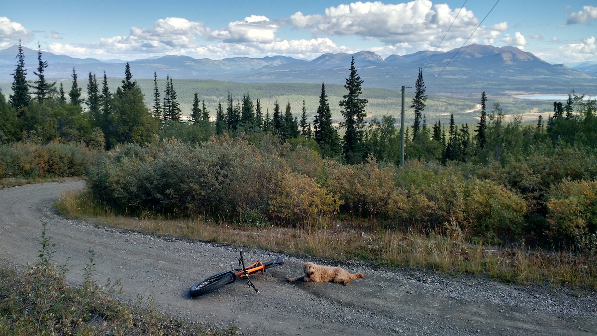
This past summer I decided I'd take our dog and try to find a route to the top. I was told there was a road going all the way up, but no one could provide me with the exact location of that road except that it was a little ways past the Tagish bridge; typical Yukon directions, haha.
After a couple of wrong turns while driving, I spotted the towers at the peak of a dirt road and figured that must be it.
It was a hot day and I was unprepared for what turned out to be a long, steep trip up the road on my fat bike. At about 7 km, I decided to turn around as our dog was suffering from the effort and I knew we still had to get back down.
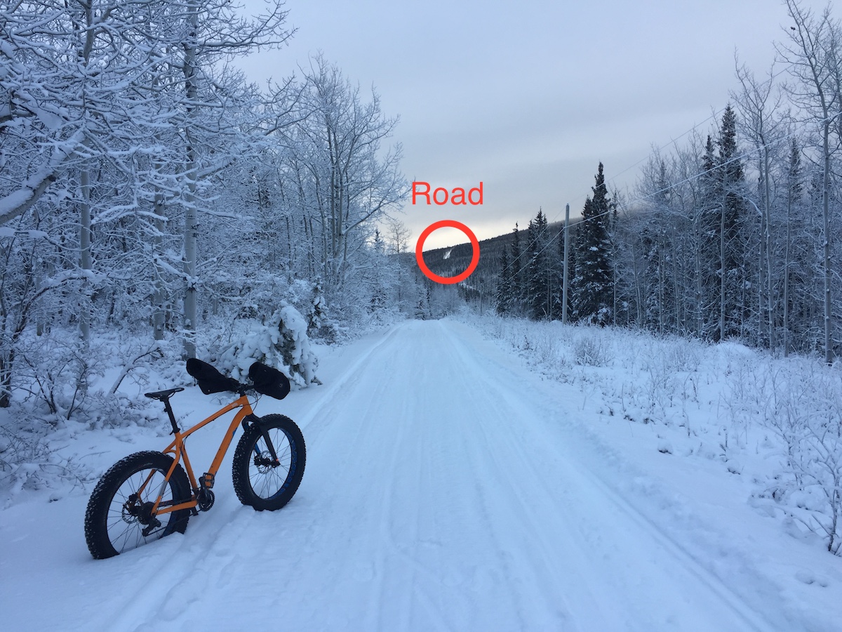
Last week I tried again. This time I left Ruby at the cabin with the family, loaded up my fat bike, some emergency gear and drove off to find the road to Jubilee again. I drove as far as I could until I got stuck, then backed down the road and parked the truck. The weather was a little warmer than days prior, but at -23 C and with only a few hours of daylight, I had to get moving right away.
The snow was deep off the sides of the road, but snow-machines had left a nice hard-packed trail up its centre. Still, it was slow-going and I had to walk a couple of steep sections and some of the switchbacks.
There were quite a few different animal tracks criss-crossing the road, including what I'm pretty sure were snowshoe hare and moose (or maybe an elk, but let's go with the former). The moose used the road quite a lot, as many of its tracks went almost straight to the top.
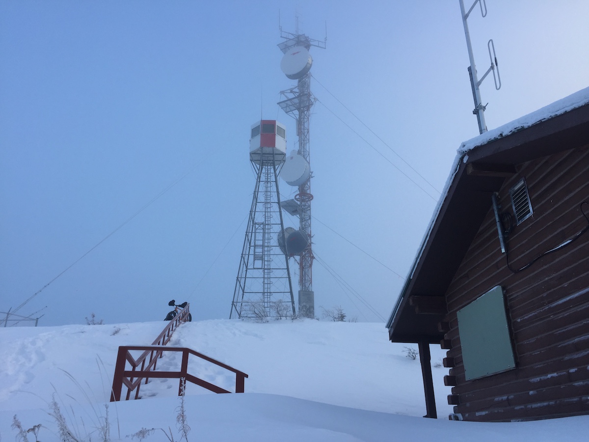
The switch-backs kept coming and the ascent felt like it would never let up, so when I finally was able to see the towers I yelped with joy. I'd done it!
Turns out Jubilee is tall at 5,568 ft or 1,697 m and steep, having gained over 553 m of elevation. I got off my bike and walked around, but the wind was howling and skies socked in, so I didn't stay long. I did take the opportunity though to check out the cabin that's there, post-holing through thigh-deep snow up and down the hill it's situated on.
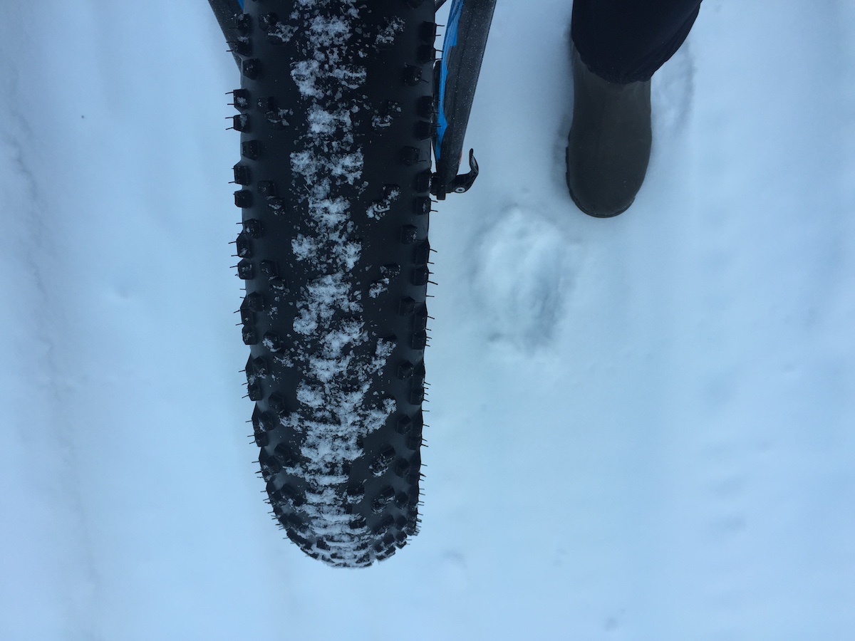
The ride back down was sketchy and cold. I had to bundle up with my extra jacket and heavier mitts even with my 45NRTH pogies on (I obviously need more carbon fibre on my fat bike) to stay warm on the descent.
If you're looking for the road up to the towers of Jubilee Mountain, the best directions I can give you is to keep your eyes out for this Tagish Service sign. You'll see it en route from Atlin to Tagish on your right side; the road is on your left. If you're coming from Tagish, go over the bridge and watch for it on the left in your rear view mirror.
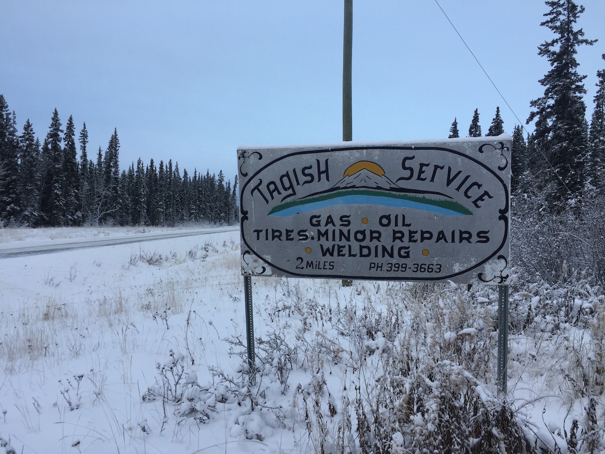
I could give you the GPS coordinates or share a map, but that would ruin the fun.
Just look for the sign. Keep things simple (and fat).